Utilizing modern Technology based on our Surveying knowledge
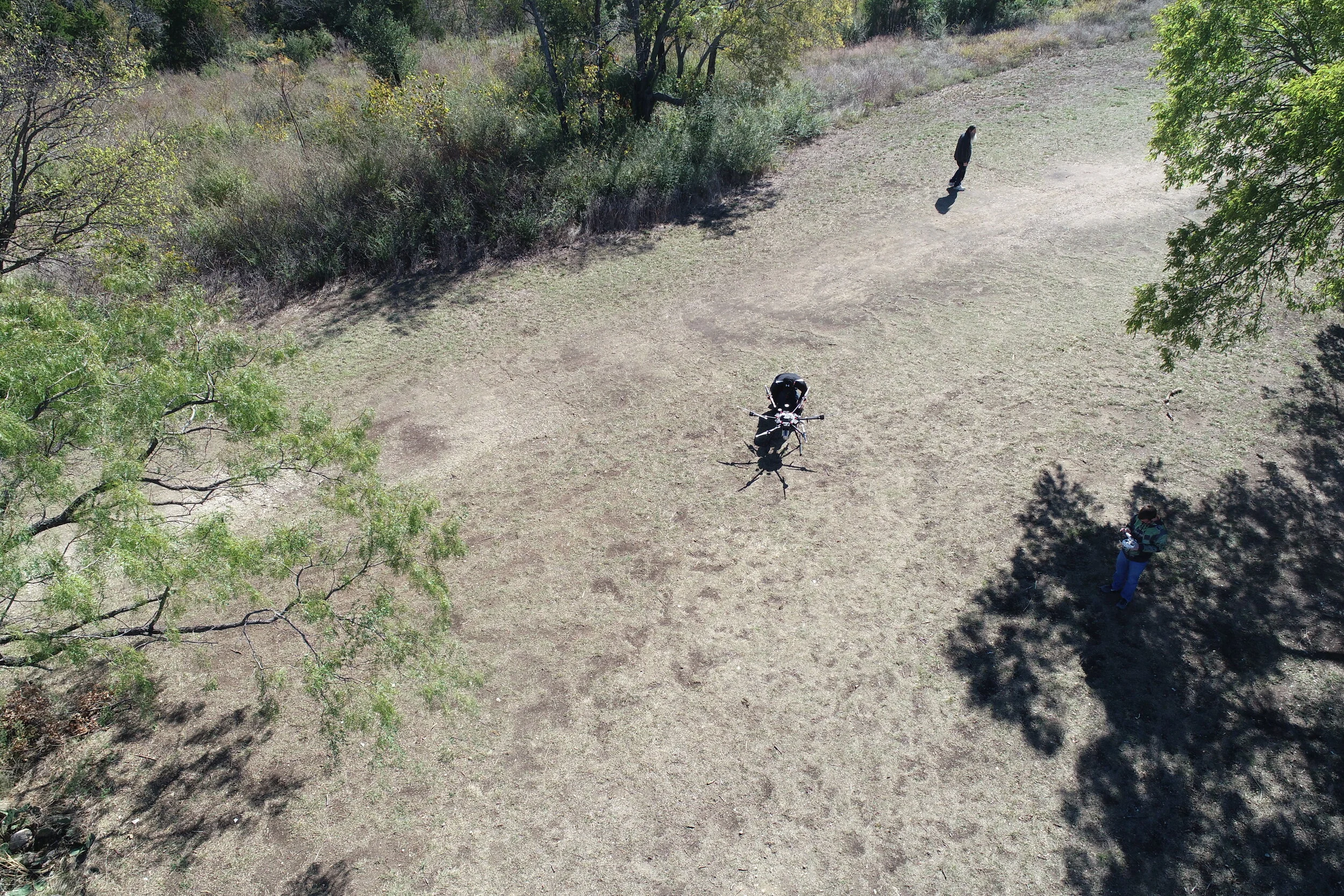
UAV
Unmanned Aerial Vehicles allow Sempco to access hard to reach areas and places that are dangerous for humans to enter. The mobility also allows for quick and accurate data collection through a variety of methods.

LIDAR
LIDAR allows Sempco to collect vast amounts of data at a survey grade level. LIDAR versus photogrammetry also allows for surveys such as Topographic surveys to take place in heavy vegetation quickly and accurately.

Thermal
Thermal Cameras on our UAV platforms allows Sempco to collect temperature data on Substation, Transmission, and Distribution equipment quickly while remaining a safe distance from any dangerous components. Collecting this thermal data could be key to catching a faulty component before failure, saving not only time and money but also potentially stopping wildfires before they happen.