

Sempco Surveying
Route Survey - Corridor Mapping - GPS - Lidar - Aerial Photography - Thermal
Who We Serve

Sempco’s clients include Electric Utility Companies, Engineering Groups, Transportation Departments, Oil/Gas Exploration and Operating companies, Land Developers, Title Companies and Law Offices.

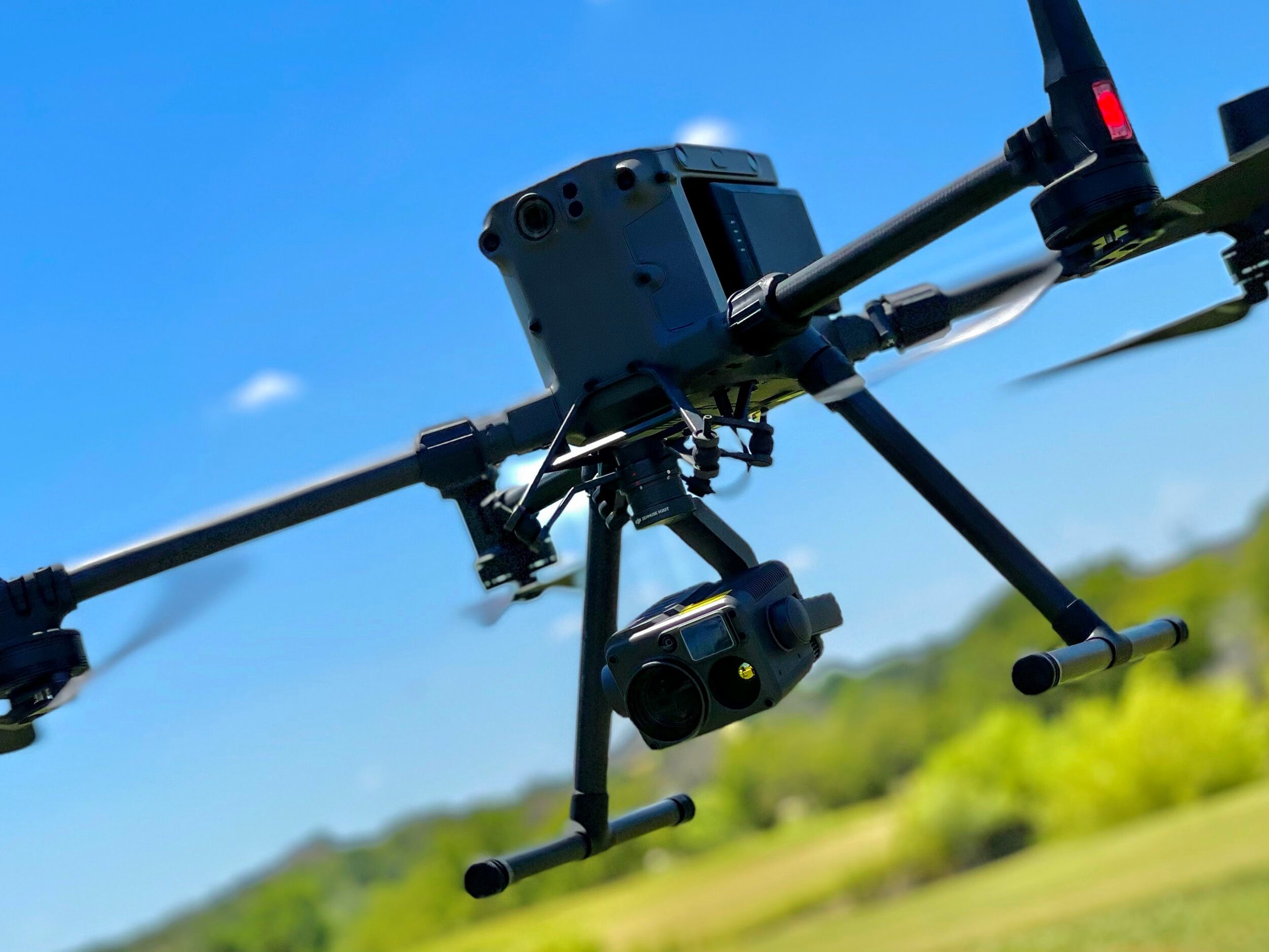
Sempco utilizes Field Crews operating the latest GPS survey technology, total station theodolites, multi-rotor UAVs for aerial mapping and photography in work trucks across the State of Texas. Computer Aided Drafting stations are equipped with the latest CAD, GIS, photogrammetry, 3D point cloud and modeling software..
Latest Technology

The management group represents a total of more than 125 years combined experience in professional surveying, mapping, land planning and right-of-way acquisition. They hold professional land surveying registrations in Texas.
